
A flash flood warning is one weather alert you should never treat casually. It means water can rise fast, roads can turn dangerous, and low spots can fill before people have time to react.
The National Weather Service says a Flash Flood Warning is issued when flash flooding is imminent or already happening. It can develop within minutes to hours, and it may even happen in places that are not getting rain at that exact moment.
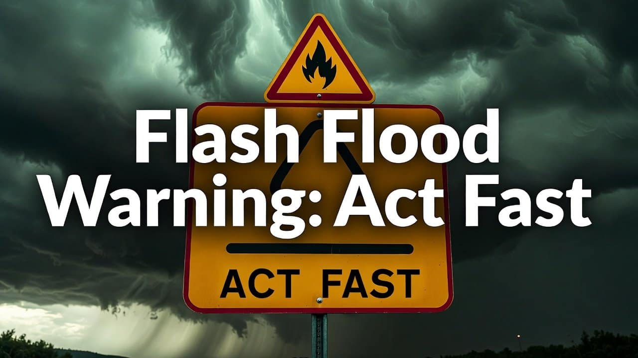
The Alert Is the Action
When a flash flood warning appears, the main message is clear: move away from danger now. Do not wait for water to reach your driveway. Do not drive around to “take a look.” Do not assume a familiar road is safe because you use it every day.
Recent National Weather Service alerts in North Texas showed how quickly the risk can build. On Tuesday, May 19, 2026, the NWS Fort Worth office issued a Flash Flood Warning for northwestern Dallas County and Tarrant County after radar and rain gauges showed heavy rain, with more rain expected and flash flooding ongoing or expected to begin shortly.
The alert listed possible flooding in urban areas, highways, streets, underpasses, small creeks, and low spots.
Roads Become the Biggest Trap
Flooded roads are the places where many people make the most dangerous choice. The NWS warning repeated a familiar but serious rule: “Turn around, don’t drown.” It also noted that most flood deaths happen in vehicles.
That message matters because floodwater can hide washed-out pavement, open drains, debris, or a strong current. Even a road that looks shallow may be unsafe. If water covers the road, choose another route. If you cannot see the road surface, you cannot know what is under the water.
Why Heavy Rain Can Turn Fast
Flash flooding is not only about how much rain falls. It also depends on how fast it falls, where it falls, and what the ground and drainage systems can handle.
In another Fort Worth alert, the NWS said up to 2 inches had already fallen in parts of southwestern Collin County and southeastern Denton County, with up to 2 more inches possible. The warning again pointed to small creeks, urban areas, highways, streets, underpasses, and poor drainage areas as key concerns.
The Weather Prediction Center also highlighted excessive rainfall risk for parts of the Southern Plains, southern Illinois, and Indiana in its Day 1 outlook valid from May 19 into May 20, 2026. Its discussion pointed to high rainfall rates and areas where earlier rain had made flooding easier to trigger.
What to Do Before Water Gets Close
The safest steps are basic, but they work. Move to higher ground if you are near a creek, stream, drainage ditch, underpass, or low-water crossing. Keep phones charged. Make sure emergency alerts are turned on. Bring pets inside. Move important items away from the floors if it is safe to do so.
If flooding is already nearby, skip property checks and focus on people first. Never walk through moving water. Stay away from riverbanks, culverts, and drainage channels because they can break down or pull people in.
In one Texas flash flood statement, the NWS warned that riverbanks and culverts can become unstable and unsafe.
Keep Watching Official Updates
A flash flood warning can change as storms move, weaken, or grow stronger. That is why official updates matter more than guesses from neighbors or old posts online.
The NWS active alerts page points people to current watches, warnings, and advisories, while its flood safety page explains that flooding is a threat somewhere in the country nearly every day of the year.
The best response is calm, quick, and practical. Check the warning area. Avoid flooded roads. Move higher if needed. Keep listening for official updates until the warning ends.
In a flash flood, a few minutes can decide whether a bad situation stays manageable or becomes life-threatening.